
Where it helps
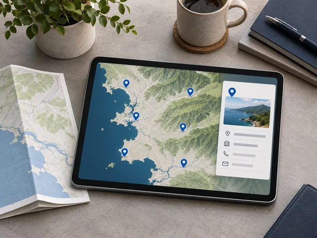
A location map gives users spatial context when a list of sites is hard to interpret. It is useful when people need to compare locations by a small set of approved attributes.
How the work takes shape
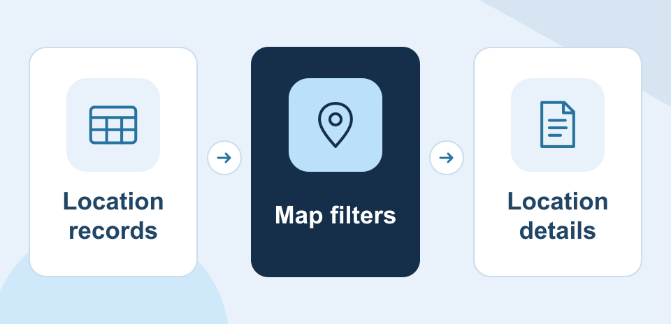
NexSar uses the approved location records to build the map, filters, and detail cards. The result is embedded or handed over in the client’s mapping account.
Example engagement
A business could show authorized service locations and let users narrow the view by region or facility type before opening a location’s details.